

Command · Control · Computing · Communications · Intelligence
One Recognised Ground Picture
All entities
All levels
Find out more Use cases
- Joint headquarters and command centres
- Forward command, rapidly deployed
- Ground forces at the point of contact
- Coalition and multi-agency operations
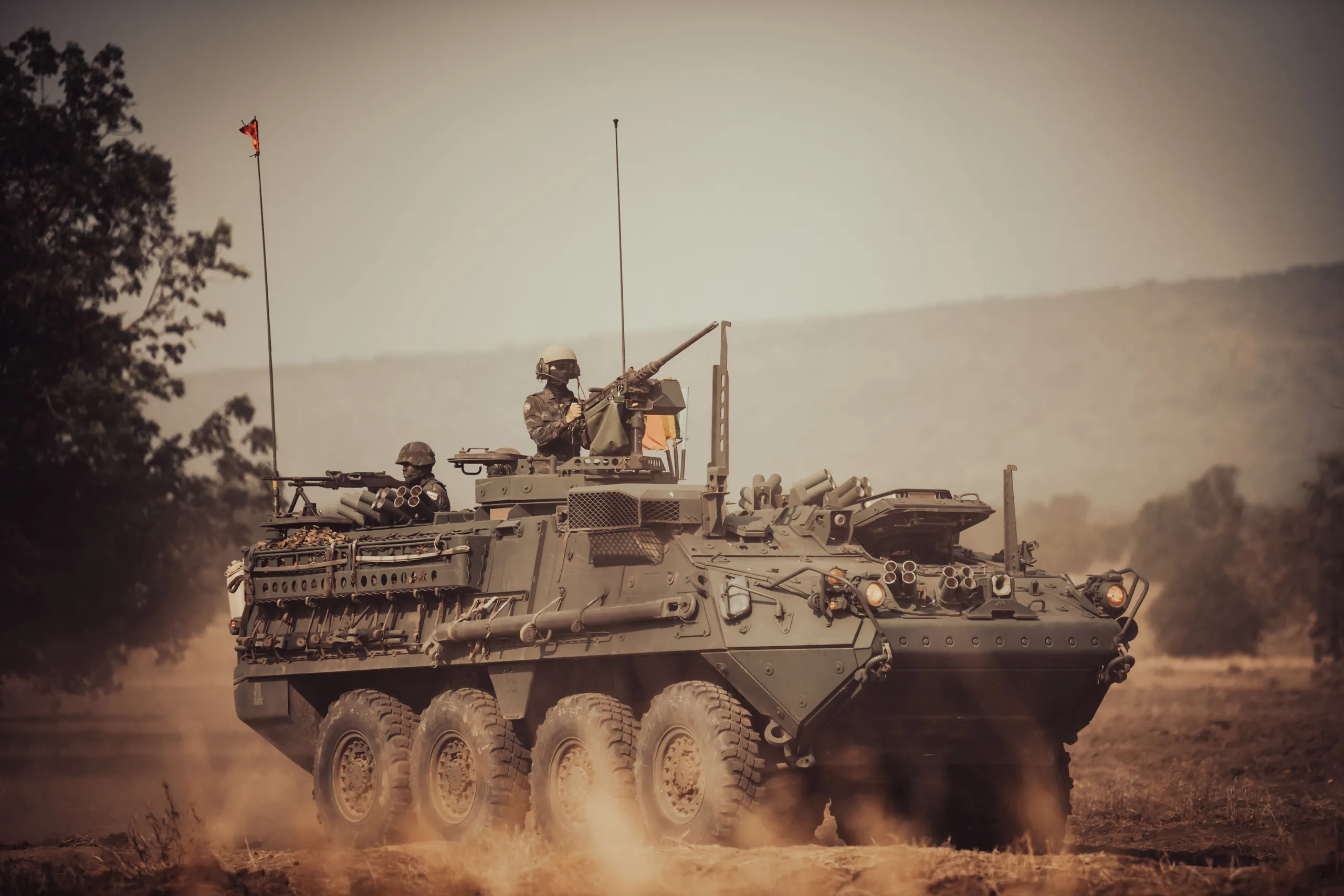
Tactical support vehicles
Independent power, a private 5G network and satellite backhaul, carried to the forward edge in minutes.
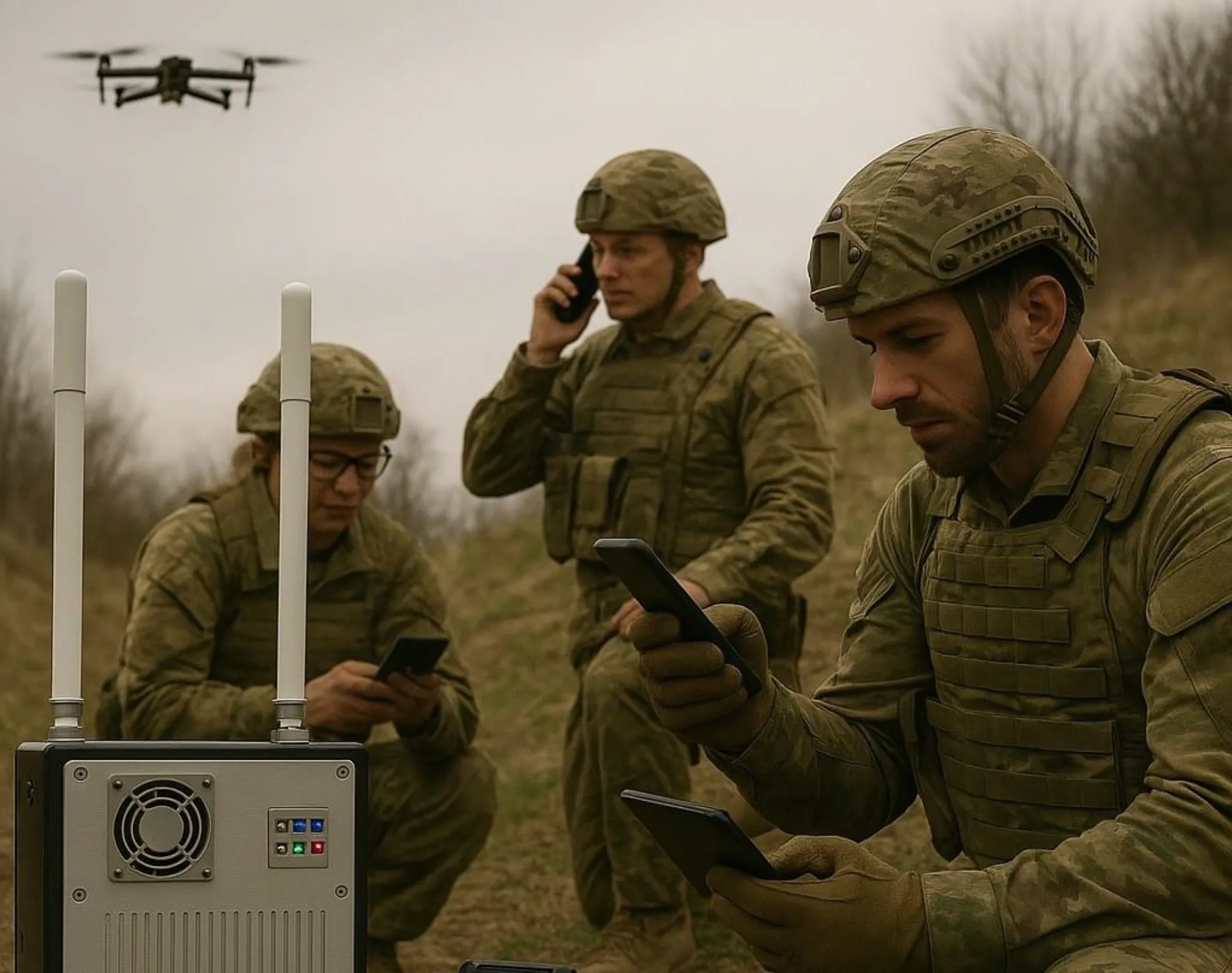
Battlefield comms
Every soldier, vehicle and aircraft on the shared picture, on rugged devices that survive the field.
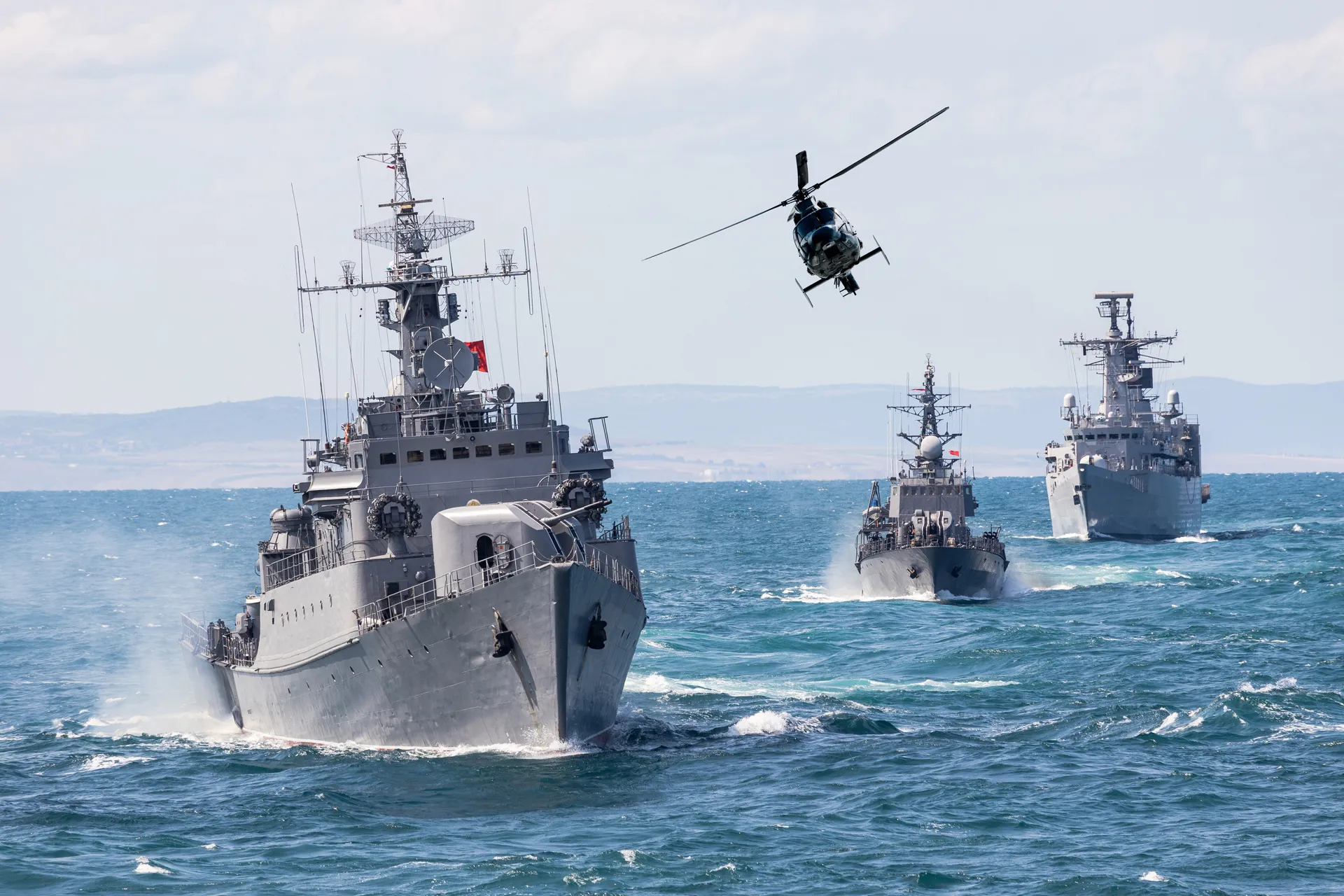
One picture, every service
Joint forces in the field, sharing information in real time on a single common operating picture.
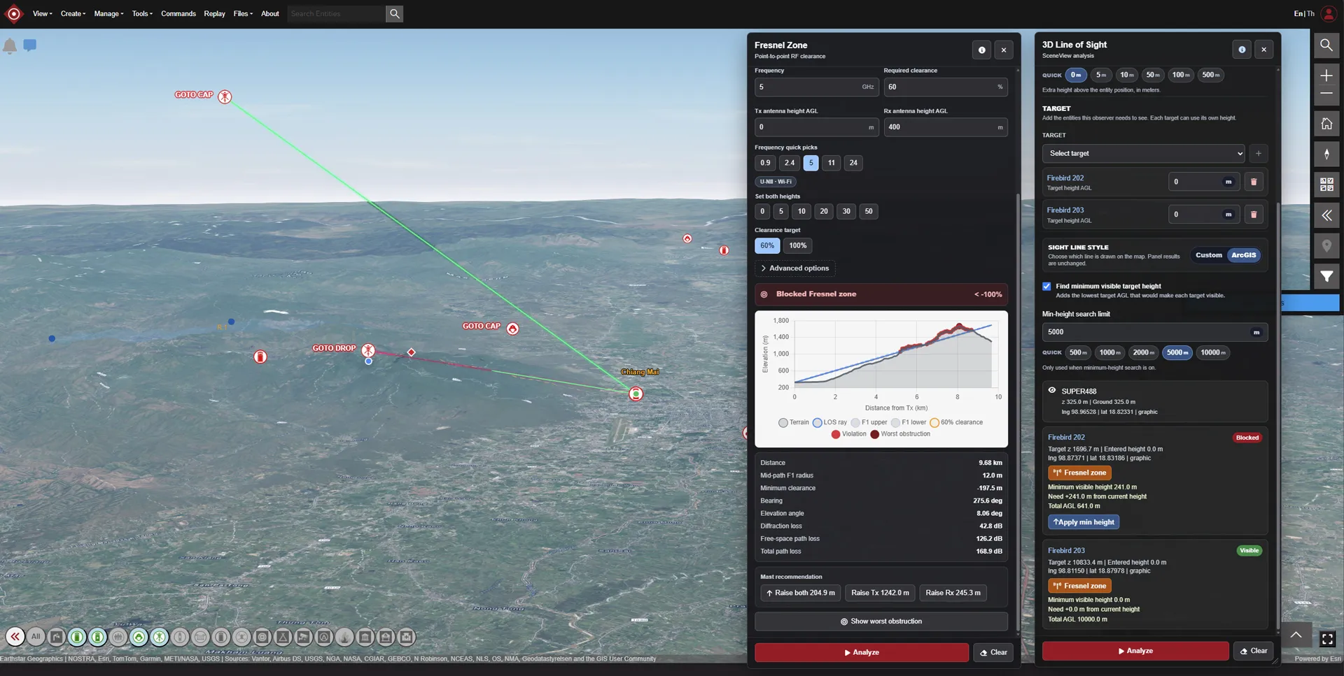
Eyes beyond line of sight
Live intelligence from unmanned systems in the field, distributed into the picture everyone shares.
The Gap
Modern operations are joint.
Most current C2 systems still aren't.
Ground forces, air force and navy each see their own picture, rarely the same one, rarely in real time.
Separate service C2 systems that don't integrate to share a common picture.
No shared, real-time view of position, status and intent across all domains.
Command and communications that depend on infrastructure the fight will damage.
What it does
One picture, from headquarters to the point of contact.
SMART C4i gives every commander from joint headquarters to front line troops at the point of contact the same real-time picture of position, status and intent.
SMART C4i RGP
- Command HQ
- Air Force
- Navy
- Ground Forces
- Drones & Robots
- Tactical Support Vehicle
Our Mission
Fuse the strategic and tactical pictures into a single, network-centric Common Operating Picture with two integrated layers
Deployable anywhere, including command posts and field operations.
Layer 01
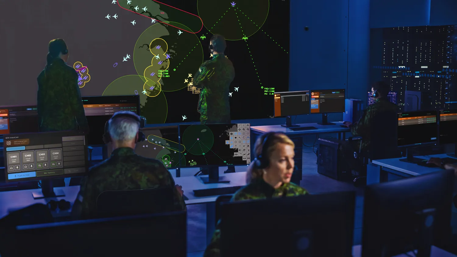
Joint strategic command, for command centres and decision-makers
- RAP, RLP and RSP fused into a single COP
- Intelligence, weather and satellite imagery integrated
- Supported in the field by the Tactical Support Vehicle
- Joint, informed decisions across every service
Layer 02
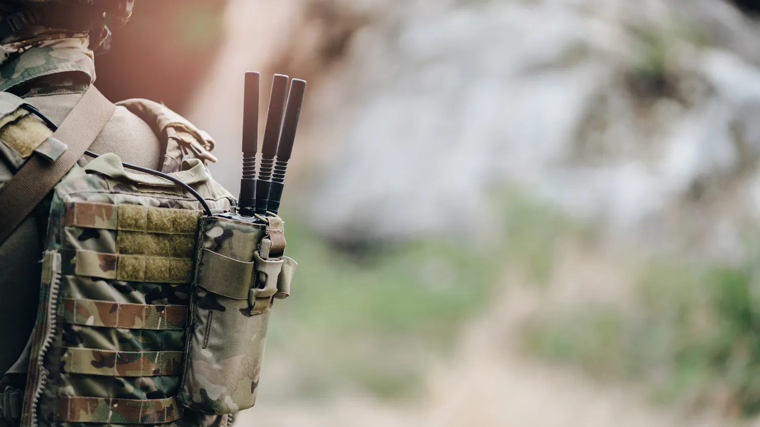
Tactical network, for ground forces, aircrew and field commanders
- Ground forces and helicopters share tactical data in real time
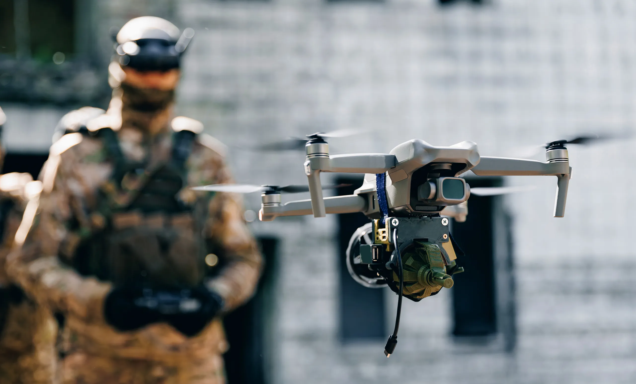
- Drones and robots feed live intelligence from the field
- Deployable private 5G network carried by the TSV
- Satellite backhaul keeps HQ in the picture, wherever needed
Capabilities
Built for the point of contact,
not the data centre.
Track
Ruggedised, 5G-enabled devices give every soldier, vehicle and aircraft a live position and status on the shared picture.
Communicate
Independent power, an onboard server and satellite backhaul carry the tactical layer's private 5G network to the forward edge in minutes.
Drone & robot ISR
Live intelligence from unmanned systems in the field, distributed beyond line of sight into the common operating picture.
Sovereign & affordable
Built on commercial off-the-shelf components: network-centric operations without the cost or lock-in of proprietary systems.
Why SMART C4i matters
Network-centric operations, made affordable.
View
Joint force ready: Ground Forces, Air Force, Navy, one shared picture.
Analyse
Incorporates multiple tools to aid operational analysis.
Deploy
Rapidly establish forward command, anywhere it's needed.
Afford
COTS-based with no proprietary lock-in and room for flexible growth.
See what network-centric command looks like for your force
To find out more about how SMART C4i can transform your organisation, please click on the button below to book a demo.
Book a demo